Lizard Point Circular Walk
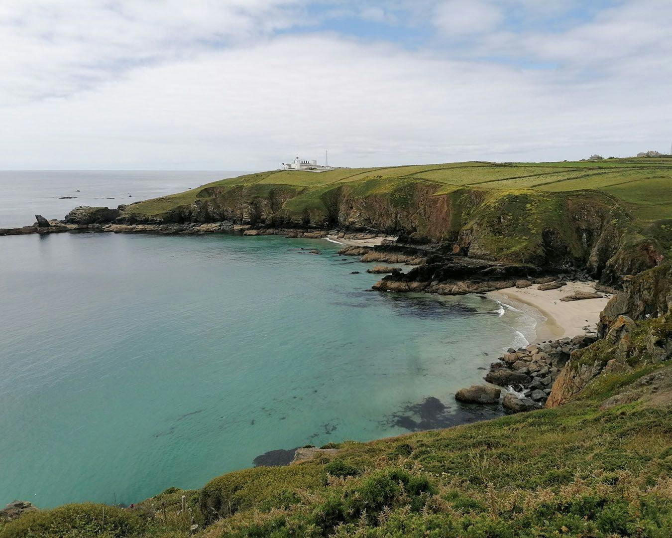
The most southerly point in mainland Britain is often ignored by those who head instead to Land’s End (neither the most southerly, or the most westerly!) It’s a wonderful place to watch nature, seals are regular visitors to the surrounding rocks and water, and the Cornish chough can often be seen pecking for food in the clifftop fields. But it’s also a favourite destination for geologists, with rocks formed over 350 million years ago on show.
For this short walk, park on the Green in Lizard Town and head south down the road, past the shops towards the lighthouse. A pathway keeps you apart from the lane until you reach the Lighthouse Carpark on your left, from here stay on the road as it narrows and twists down to the small collection of shops and cafes at the point.
If it’s open, pop into the National Trust’s little wildlife centre and have a look through their telescopes to get a close up of the bird life flying past. The track continues down to the little cove, passing the disused lifeboat station, closed in 1961.
Return back to the top of the slope and follow the South West Coast Path as it skirts around the edge of the cliff to your right. As you head out into the open the Lizard Lighthouse will appear on your left. This was built in 1752 with a light at each end. The western light was taken down in 1903, a few years after the large fog horn was installed. The Lighthouse has a visitor centre, and some of the buildings are now used for accommodation.
Continue along the path passing the Lion’s Den collapsed sea cave on your right. Don’t be tempted to go too close as the edge is still crumbling. Out at the end of the point you will see the sea stack, the Bumble Rock, made out of a rock known as schist.
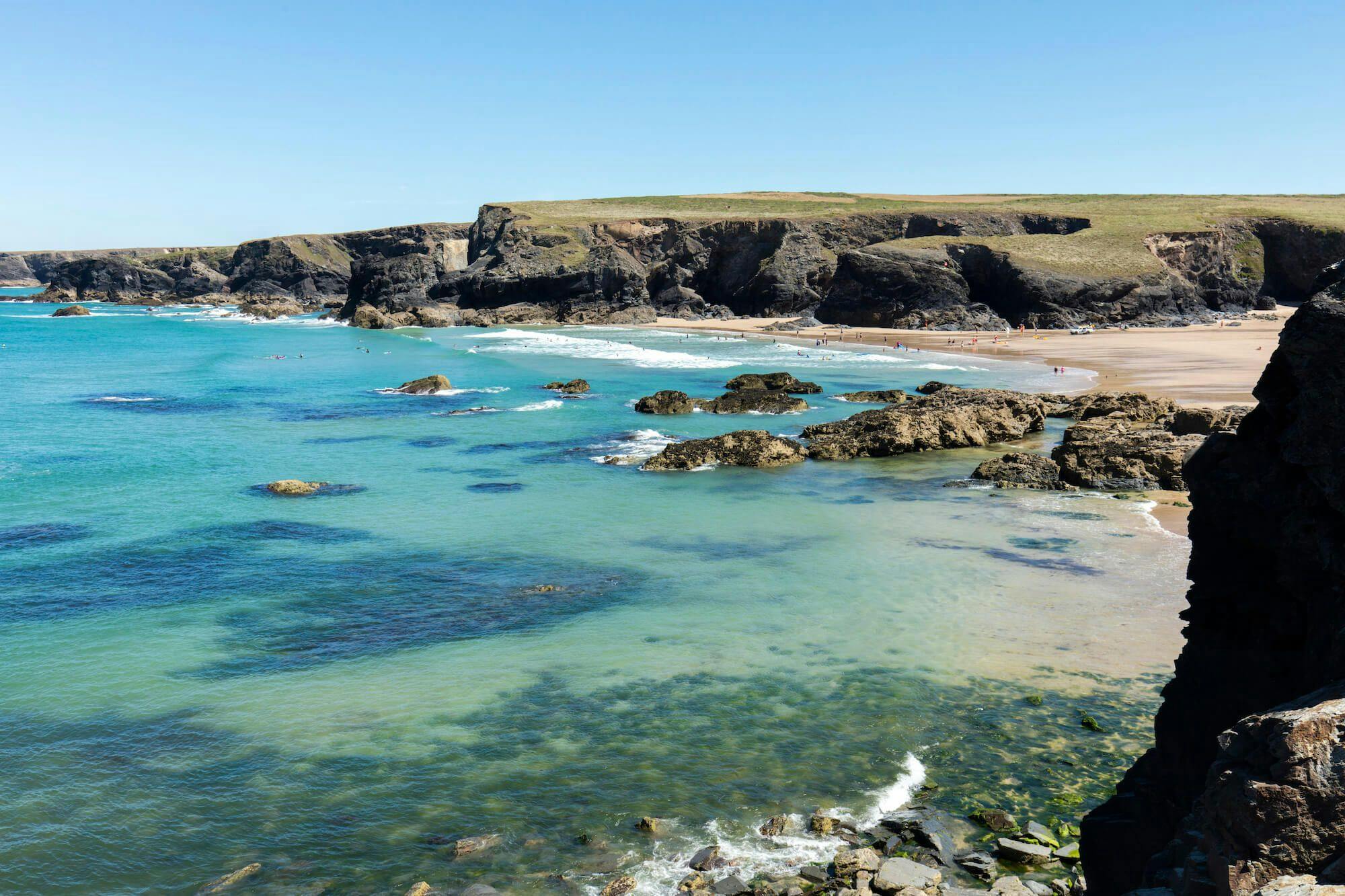
You are now above Housel Bay, follow the path as it climbs and then descends to a narrow bridge over a small stream. A rough path here takes you down to Housel Beach, only attempt it if you are able and the tide is out. Ignoring the beach carry on up the right hand side of the stream, taking the first turning right which snakes between bushes to come out in front of the Housel Bay Hotel.
There are great views back towards Lizard Point as you make your way around the bay and out towards the headland known as Pen Olver. The two black huts just to the left of the path are Marconi’s Signal Station, from where the inventor sent a wireless message 200 miles to the Isle of Wight in 1901. If you are lucky the hut will be open to visitors. This whole area is full of communication history. Across the bay ahead of you sits the Lloyds Signal Station, it was from here 30 years earlier than Marconi that messages were sent by signal or wire to London to tell owners their ships had made it safely back into British waters.
Follow the hedge on the left from Marconi’s huts to a gate. Go through this and turn left along the road. On your right as you walk up the road is a nuclear bunker, used until 1991 as a monitoring post. In the fields around it are other remains of observation posts dating back to World War II.
Continue up the road until you reach the edge of the village. Turn left here and follow the road past the school and the playing fields back to the centre of the village where you will find plenty of places to get refreshments.
Distance 2.5 miles (4km)
This walk created by Walkaboutwest 2023
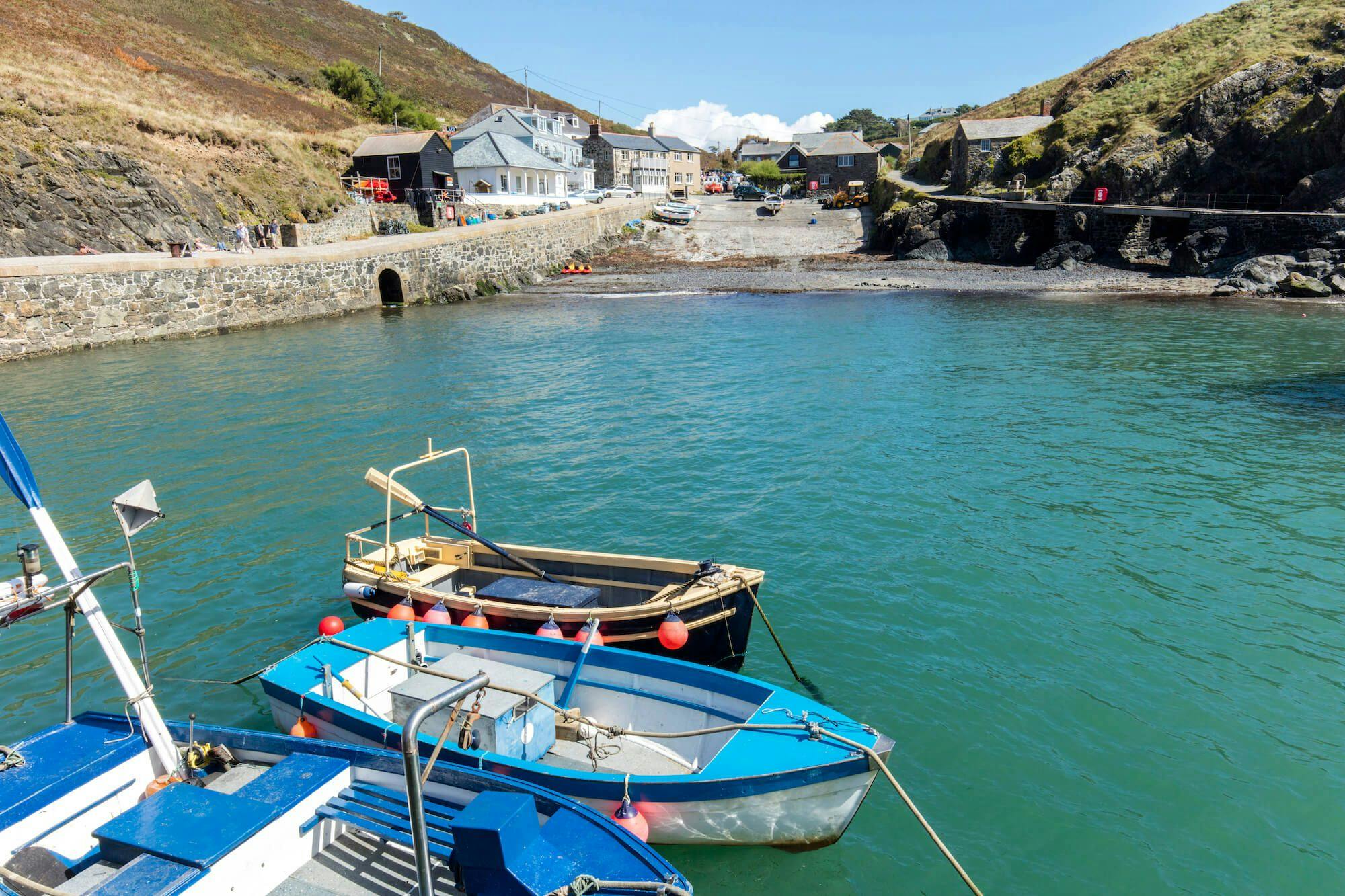
- Mullion

Your weekly dose of Cornish cheer!
When you can’t be in your favourite place all the time, catch up on the latest stories, upcoming events, holiday ideas, and offers with a newsletter straight to your inbox. Terms and Conditions / GDPR compliance: by providing personally identifiable information Visit Cornwall will use it to provide you with ongoing information about their products and services. No one from Visit Cornwall will rent, sell or lease this personally identifiable information to other companies or individuals.
Stay connected
Find us on socials and stay connected with the Cornwall you love.
We use cookies to personalise content and ads and to analyse our traffic. You consent to our cookies if you continue to use our website. (Privacy Policy)